Georadar reveals the unknown parts of the Sierra de Atapuerca caves
An international team of researchers from the Centro Nacional de Investigación sobre la Evolución Humana (CENIEH) and the University of Denver has managed to define the bottom part of the caves in the Trinchera del Ferrocarril sites (Cueva Peluda, Sima del Elefante, Galería and Gran Dolina), using georadar, revealing the unknown parts of these caves in the Sierra de Atapuerca (Burgos, Spain).
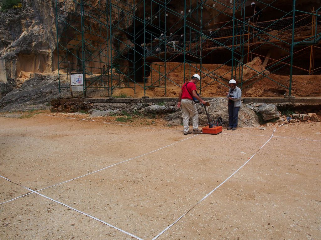
This non-invasive geophysical method, also known as ground penetrating radar (GPR), widely employed in archaeology because it is rapid and easy to apply, enables structures buried at different depths to be discovered. However, using it to study caves is usually discarded because the clayey sediments that fill them, being highly conductive, attenuate the radar signal, thus limiting its penetration capacity.
“Nevertheless, in our case this characteristic has served for studying the lower part of these caves, because we have been able to clearly distinguish the walls from the conduits, and from the sediments that fill them”, states Bermejo, lead author of this study, which was published recently in the journal Geomorphology.
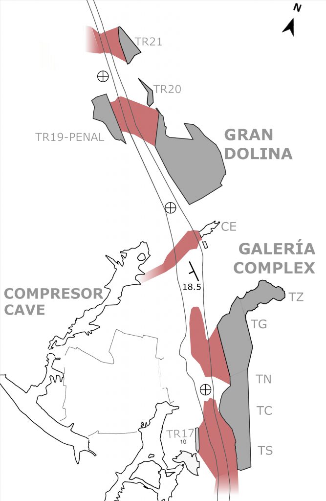
It was possible to constrain the caves’ depth by drilling two mechanical boreholes with core recovery, which have identified up to 17 meters of terrigenous fillings, such as in the case of the Galería site. Moreover, different types of sediments were discernible, thanks to which a possible conduit full of fluvial sediments was recorded, which would connect the lower level of Cueva Peluda with the lower part of Sima del Elefante.
Quarrying activity
On the other hand, the information provided by the georadar and historical photographs have made it possible to establish how far the impact of the quarrying activity that took place at the Trinchera until the 1970s extended.
This activity was especially intensive between Cueva del Compresor, situated opposite the Galería site, and Gran Dolina, and it produced rubble fills up to 4 meters thick in the areas most impacted.
“All these data will help to optimize strategies for future excavations, as in this study it has been possible to identify the best preserved zones”, concludes Bermejo.